Advanced imaging technologies used to map the frozen Arctic and process frozen tuna
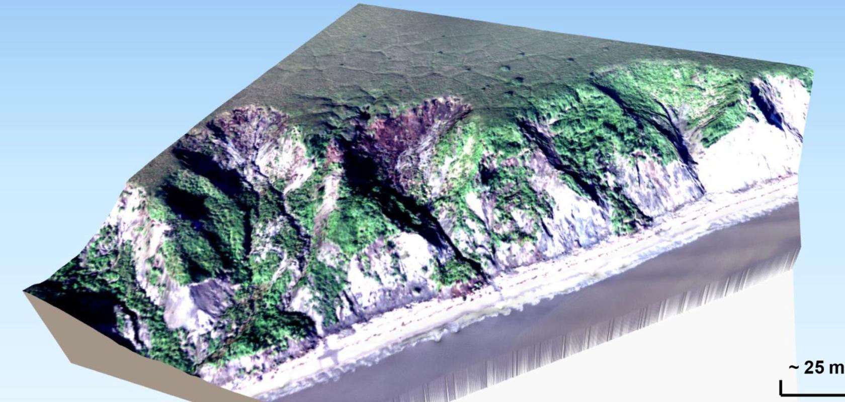
A 3D view of coastal thaw slumps on Baldwin Peninsula. Courtesy of German Aerospace Center and Potsdam University
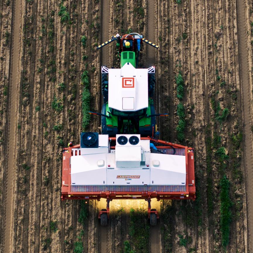
From tracking the melting rate of Arctic permafrost to optimising frozen tuna processing, cutting-edge imaging technologies are reshaping research and industry.
Register for FREE to unlock this article
Join Imaging and Machine Vision Europe and gain exclusive access to cutting-edge content and industry-leading resources. Register for FREE access to:
- In-depth articles & expert analysis: Stay ahead with comprehensive coverage of the latest trends, technologies, and innovations in imaging and machine vision.
- Breaking news & updates: Keep informed with timely news on market movements, product launches, and technological advancements.
- Case studies & success stories: Learn from real-world applications and success stories showcasing best practices and innovative solutions.
- Exclusive webinars & round tables: Be among the first to learn about and join upcoming webinars and round table discussions with industry experts.
- Detailed reports & whitepapers: Access exclusive reports and whitepapers that provide actionable insights and strategic guidance.
- Professional networking: Connect with a European community of professionals, exchange ideas, and collaborate on groundbreaking projects.
Don’t miss out on full articles and exclusive content that can propel your career and projects forward. Register now to unlock premium content from Imaging and Machine Vision Europe.
Sign up now - it’s fast, easy and FREE!
Already registered? Log in here
You can see our full privacy policy here.