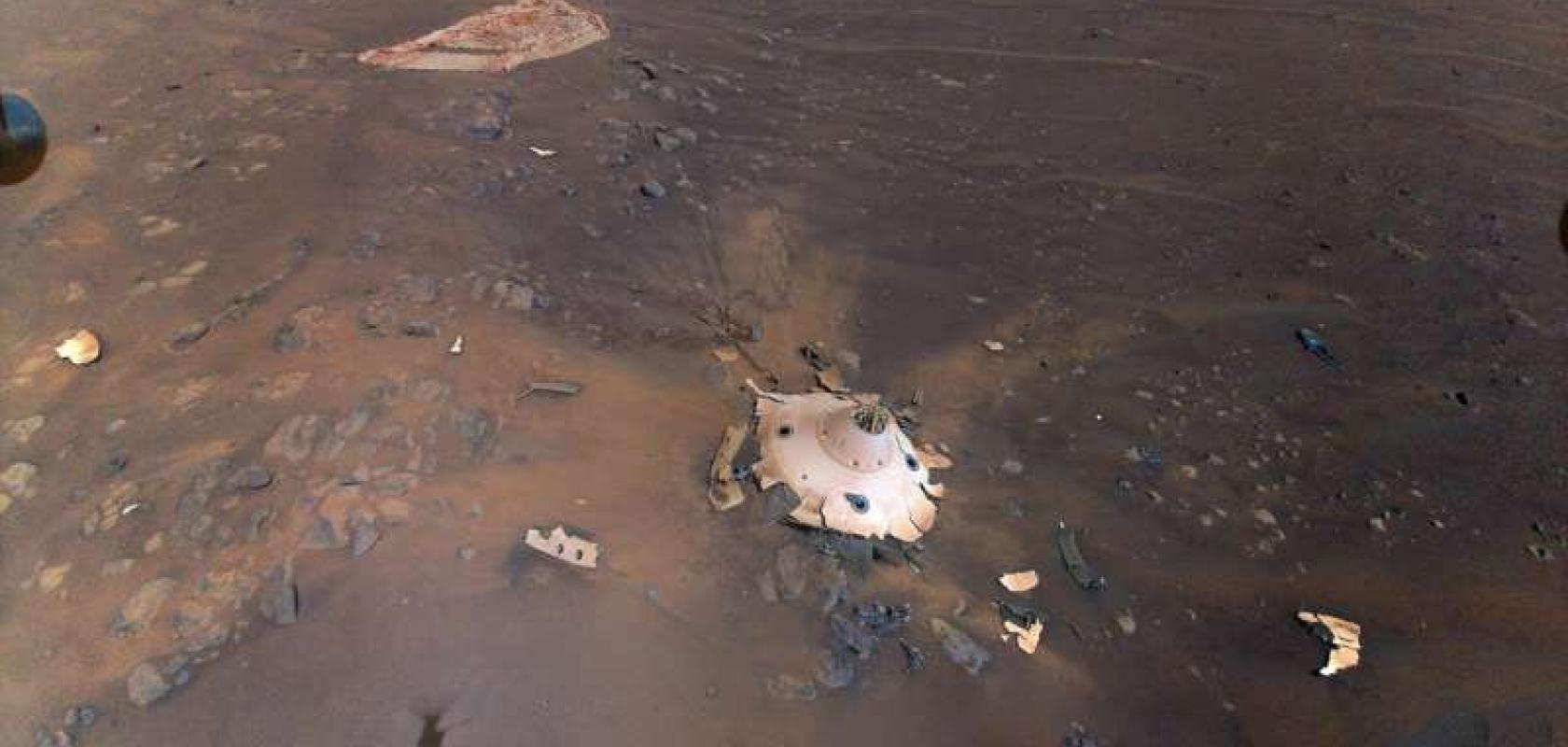
Using an open-source model to connect the dots between satellite imagery and ground-based rovers, JPL’s imaging tool allows planetary researchers to zoom in from an entire planet view down to individual boulders, and get a detailed view of our closest planet.
Mars rovers like Curiosity (2012) and Perseverance (2021) have been given the unenviable task of finding water or even signs of life on a planet of dust – the contemporary equivalent of finding a needle in a haystack – and just as any haystack search, the only way to find what you’re looking for, is to know where to look.
Even before Perseverance touched down on the dust to begin seeking signs of ancient microbial life, the Mars 2020 mission started by mapping the terrain with data from orbiting satellites, using geospatial analysis to select the Jezero Crater as the X that could mark the spot. And these mapping techniques are still being used to direct both the Perseverance rover on the ground and its accompanying Ingenuity helicopter.
“Maps and images are a common language between different people – scientists, engineers and management,” said Dr. Nathan Williams, a mapping specialist at JPL, a developer of the open-source tools used to create the maps. “They help make sure everyone’s on the same page moving forward.”
Web-based mapping interface joins Mars’ landscape dots
After touching down in February 2021, the Ingenuity helicopter lost no time in scouting the surrounding surface around Perseverance, using the image data to plan the rover’s path and scientific investigations.
From that point, the Multi-Mission Geographic Information System (MMGIS) – an open-source web-based mapping interface created by JPL’s Dr. Fred Calef III – enabled full-scale mapping, using pre-loaded imagery taken from Mars’ orbit, and allowed visitors to explore the paths of both the Perseverance rover, Ingenuity helicopter and the experienced Curiosity rover, a Mars resident since 2012.
MMGIS allowed everyone from researchers to enthusiasts to understand Martian geography in greater detail. By combining images taken from orbit with those from the ground, viewers are able to zoom in from the entire planet view, down to individual boulders. This ability allows the team to better understand both the near and mid-distance landscape around the rovers, helping them to achieve their mission goals.
Using open-source imaging tools beyond Mars
Without being data visualisation experts themselves, the JPL team were keen for their software to help other researchers to use the data themselves, and thanks to the open-source approach, MMGIS can be used to map other planetary bodies in the future, or even Earth. By making the images and data taken by the Mars 2020 mission freely available to the public, the results will not be used to educate and inspire further research.
“Every mission is contributing back to the other missions and future missions in terms of new tools and techniques to develop,” said Calef. “It’s not just you working on something, it’s being able to share data between people.”


