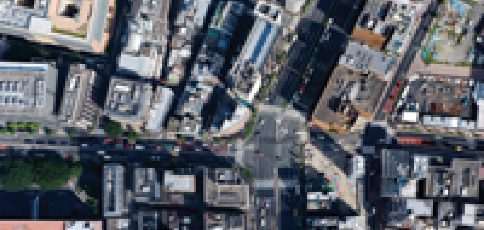
Mapping from the skies

Using imaging technology to provide landscape and terrestrial mapping has become more affordable than ever before, and Teledyne DALSA is playing its part in reducing costs via its multispectral imaging cameras and sensors.
Teledyne DALSA’s JP Luevano, International Sales Manager, explains how image-based mapping has multiple applications, from agriculture through to town planning.
To download the Application Note, click here

